


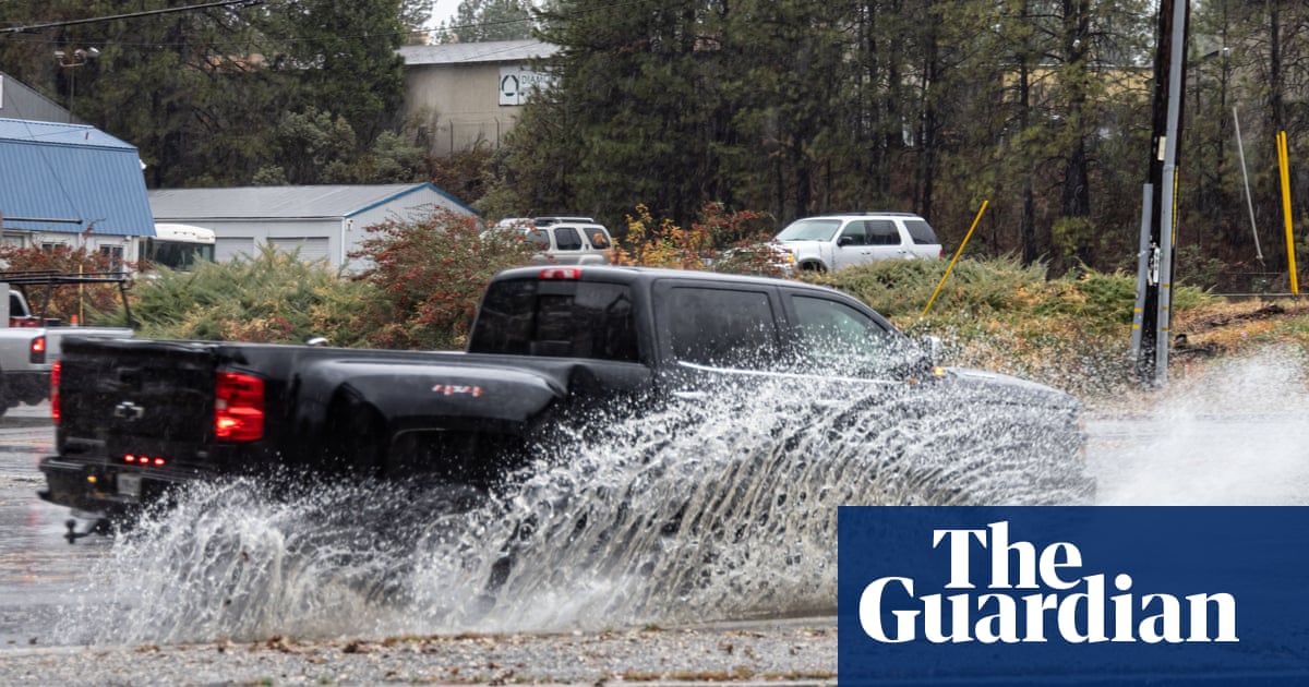
Heavy rain or snowfall is predicted across California this week, as an “atmospheric river” dumps precipitation across the state.
Flood advisories have been issued for much of the Bay Area, according to the National Weather Service (NWS), while southern California may see coastal flooding, heavy surf, wave damage to coastal piers and parking lots, and beach sand erosion.
Areas of the state still recovering from recent wildfires are at risk for flash flooding, with specific warnings issued for “burn scar” areas including in Big Sur and the Napa valley.
The heaviest of the rainfall is expected north-east of San Francisco, from Santa Rosa to Chico and Redding in the state’s Central valley, and in the southern part of the Bay Area, along coastal mountain ranges from Santa Cruz to San Jose and Palo Alto, according to the NWS.
“Travel delays, localized flooding and hazardous conditions are possible, especially along the coast and on mountain pass roads,” Accuweather warned in an online forecast.
Atmospheric rivers, massive currents of water vapor that can carry as much or even more water than an actual river, have been growing stronger and deadlier in recent years. In the relatively dry western US, atmospheric rivers provide both essential precipitation and flood risk.
In southern California, the NWS predicted ۱-۳in of rain in many areas, with ۳-۵in in some mountain and foothill areas, and a ۲۰% chance of thunderstorms on Wednesday and Thursday. As much as a foot of snow was expected in higher-elevation areas above ۶,۰۰۰ft. There was a high risk of “significant road flooding” and a moderate risk for rockslides and mudslides, the NWS said.
The risk of coastal wave damage was expected to peak in Southern California on Thursday, with additional risks expected next week, with seasonal high tides overlapping with storm risks during Thanksgiving week.
Waterspouts were spotted in the San Francisco Bay earlier this week, and the NWS flagged the risk of additional waterspouts in the ocean east of San Francisco on Wednesday.